A92
Introduction
The photograph on this page of A92 by Richard Webb as part of the Geograph project.
The Geograph project started in 2005 with the aim of publishing, organising and preserving representative images for every square kilometre of Great Britain, Ireland and the Isle of Man.

There are currently over 7.5m images from over 14,400 individuals and you can help contribute to the project by visiting https://www.geograph.org.uk
A92
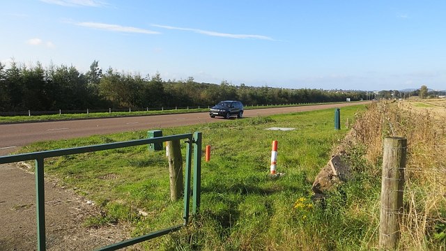
Image: © Richard Webb Taken: 27 Sep 2014
The A92 is now a dual carriageway, but here it is on two levels so the westbound carriageway is out of sight. Broughty Ferry has jumped over the road into the green belt and the field on the right is probably in danger of development.
Images are licensed for reuse under creativecommons.org/licenses/by-sa/2.0
Image Location
Latitude
56.485591
Longitude
-2.845159