Where's the path?
Introduction
The photograph on this page of Where's the path? by Graham Hogg as part of the Geograph project.
The Geograph project started in 2005 with the aim of publishing, organising and preserving representative images for every square kilometre of Great Britain, Ireland and the Isle of Man.

There are currently over 7.5m images from over 14,400 individuals and you can help contribute to the project by visiting https://www.geograph.org.uk
Where's the path?
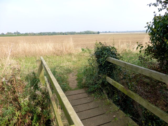
Image: © Graham Hogg Taken: 29 Sep 2014
Beyond this bridge over a field drain the public footpath has not yet been reinstated after ploughing, making navigation more difficult and walking more tiring!
Images are licensed for reuse under creativecommons.org/licenses/by-sa/2.0
Image Location
Latitude
53.272355
Longitude
-0.478825