Track to The Waste
Introduction
The photograph on this page of Track to The Waste by Richard Dorrell as part of the Geograph project.
The Geograph project started in 2005 with the aim of publishing, organising and preserving representative images for every square kilometre of Great Britain, Ireland and the Isle of Man.

There are currently over 7.5m images from over 14,400 individuals and you can help contribute to the project by visiting https://www.geograph.org.uk
Track to The Waste
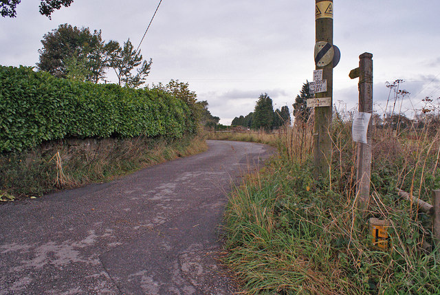
Image: © Richard Dorrell Taken: 20 Sep 2014
Viewed from its start from Rownhall Road. The track is also a public footpath, and provides access to a number of farms and dwellings in an area named 'The Waste'.
Images are licensed for reuse under creativecommons.org/licenses/by-sa/2.0
Image Location
Latitude
53.030248
Longitude
-2.078986