Junction on Armshead Road
Introduction
The photograph on this page of Junction on Armshead Road by Richard Dorrell as part of the Geograph project.
The Geograph project started in 2005 with the aim of publishing, organising and preserving representative images for every square kilometre of Great Britain, Ireland and the Isle of Man.

There are currently over 7.5m images from over 14,400 individuals and you can help contribute to the project by visiting https://www.geograph.org.uk
Junction on Armshead Road
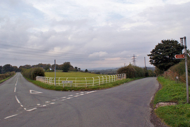
Image: © Richard Dorrell Taken: 20 Sep 2014
The fence creates a stock proof boundary but allows a good view for traffic using the junction. To the right, Armshead Road continues to Longsdon. To the left is Luzlow Lane, which leads to Bagnall, Stanley and Endon.
Images are licensed for reuse under creativecommons.org/licenses/by-sa/2.0
Image Location
Latitude
53.037337
Longitude
-2.096746