Knock Hill
Introduction
The photograph on this page of Knock Hill by Anne Burgess as part of the Geograph project.
The Geograph project started in 2005 with the aim of publishing, organising and preserving representative images for every square kilometre of Great Britain, Ireland and the Isle of Man.

There are currently over 7.5m images from over 14,400 individuals and you can help contribute to the project by visiting https://www.geograph.org.uk
Knock Hill
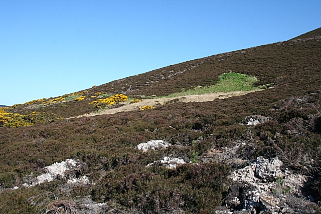
Image: © Anne Burgess Taken: 30 Apr 2007
The western slope of Knock Hill, with some recently disturbed ground in the foreground, which seems to be associated with some forestry operations.
Images are licensed for reuse under creativecommons.org/licenses/by-sa/2.0
Image Location
Latitude
57.581723
Longitude
-2.782121