Towards Berry Hill
Introduction
The photograph on this page of Towards Berry Hill by Derek Harper as part of the Geograph project.
The Geograph project started in 2005 with the aim of publishing, organising and preserving representative images for every square kilometre of Great Britain, Ireland and the Isle of Man.

There are currently over 7.5m images from over 14,400 individuals and you can help contribute to the project by visiting https://www.geograph.org.uk
Towards Berry Hill
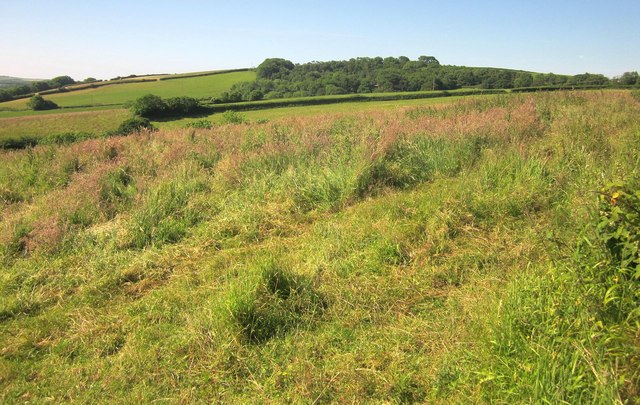
Image: © Derek Harper Taken: 14 Jun 2014
Looking to the right from the same point as Image The woodland is in Image and is around the disused Buttery Quarry.
Images are licensed for reuse under creativecommons.org/licenses/by-sa/2.0
Image Location
Latitude
50.409269
Longitude
-4.286895