Mound on recreation ground, Haddenham
Introduction
The photograph on this page of Mound on recreation ground, Haddenham by Andrea as part of the Geograph project.
The Geograph project started in 2005 with the aim of publishing, organising and preserving representative images for every square kilometre of Great Britain, Ireland and the Isle of Man.

There are currently over 7.5m images from over 14,400 individuals and you can help contribute to the project by visiting https://www.geograph.org.uk
Mound on recreation ground, Haddenham
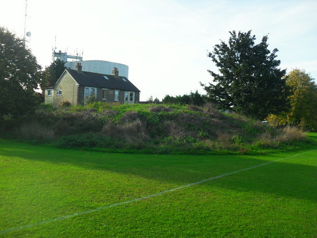
Image: © Andrea Taken: 1 Oct 2014
Mound marked as monument on map and on Cambridgeshire HER (No.05719) is thought to be a windmill mound. Water tower can be seen in the background.
Images are licensed for reuse under creativecommons.org/licenses/by-sa/2.0
Image Location
Latitude
52.355238
Longitude
0.152642