Fields west of Stoughton
Introduction
The photograph on this page of Fields west of Stoughton by Alan Hunt as part of the Geograph project.
The Geograph project started in 2005 with the aim of publishing, organising and preserving representative images for every square kilometre of Great Britain, Ireland and the Isle of Man.

There are currently over 7.5m images from over 14,400 individuals and you can help contribute to the project by visiting https://www.geograph.org.uk
Fields west of Stoughton
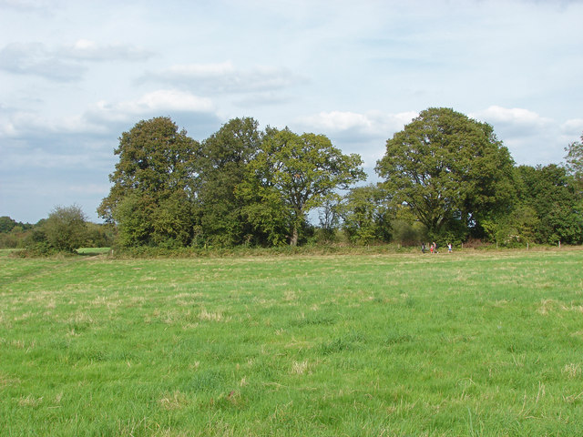
Image: © Alan Hunt Taken: 28 Sep 2014
The fields west of the housing estates of Stoughton with the tree line surrounding the fishing lake. This area is set to become part of the Stoughton housing estates.
Images are licensed for reuse under creativecommons.org/licenses/by-sa/2.0
Image Location
Latitude
51.257556
Longitude
-0.602434