Information board at Carwynnen Quoit
Introduction
The photograph on this page of Information board at Carwynnen Quoit by Rod Allday as part of the Geograph project.
The Geograph project started in 2005 with the aim of publishing, organising and preserving representative images for every square kilometre of Great Britain, Ireland and the Isle of Man.

There are currently over 7.5m images from over 14,400 individuals and you can help contribute to the project by visiting https://www.geograph.org.uk
Information board at Carwynnen Quoit
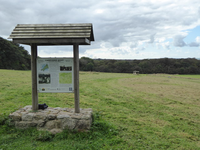
Image: © Rod Allday Taken: 26 Sep 2014
The recently re-erected quoit is in the distance. For more details see Image
Images are licensed for reuse under creativecommons.org/licenses/by-sa/2.0
Image Location
Latitude
50.1884
Longitude
-5.292108