Danes Camp Way
Introduction
The photograph on this page of Danes Camp Way by Burgess Von Thunen as part of the Geograph project.
The Geograph project started in 2005 with the aim of publishing, organising and preserving representative images for every square kilometre of Great Britain, Ireland and the Isle of Man.

There are currently over 7.5m images from over 14,400 individuals and you can help contribute to the project by visiting https://www.geograph.org.uk
Danes Camp Way
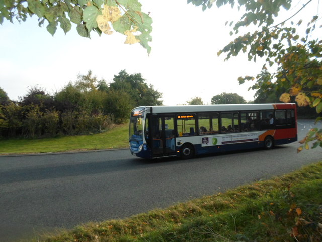
Image: © Burgess Von Thunen Taken: 29 Sep 2014
Used to be called the Blackwood Hodge roundabout.
Images are licensed for reuse under creativecommons.org/licenses/by-sa/2.0
Image Location
Latitude
52.22423
Longitude
-0.926436