Allt y Garn Quarry
Introduction
The photograph on this page of Allt y Garn Quarry by Nigel Davies as part of the Geograph project.
The Geograph project started in 2005 with the aim of publishing, organising and preserving representative images for every square kilometre of Great Britain, Ireland and the Isle of Man.

There are currently over 7.5m images from over 14,400 individuals and you can help contribute to the project by visiting https://www.geograph.org.uk
Allt y Garn Quarry
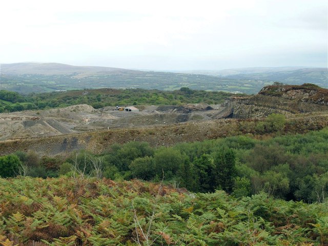
Image: © Nigel Davies Taken: 28 Sep 2014
A search on the name reveals that several companies have owned this quarry over the years, one of which has "Silica" in its name so presumably that is what is quarried here. This is the view from the cairn at the top of the nearby hill that also has a transmitter and a trig pillar on it.
Images are licensed for reuse under creativecommons.org/licenses/by-sa/2.0
Image Location


Leaflet Map data © OpenStreetMap
Latitude
51.822627
Longitude
-4.052039