Pasture and housing in Worfield, Shropshire
Introduction
The photograph on this page of Pasture and housing in Worfield, Shropshire by Roger D Kidd as part of the Geograph project.
The Geograph project started in 2005 with the aim of publishing, organising and preserving representative images for every square kilometre of Great Britain, Ireland and the Isle of Man.

There are currently over 7.5m images from over 14,400 individuals and you can help contribute to the project by visiting https://www.geograph.org.uk
Pasture and housing in Worfield, Shropshire
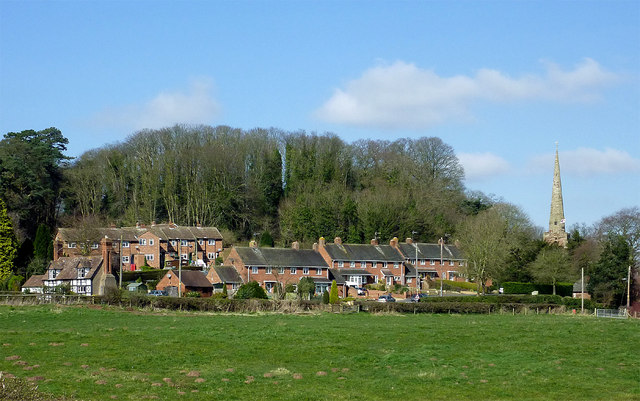
Image: © Roger D Kidd Taken: 11 Mar 2014
The housing is at the south end of main Street. On the right is the spire of the Church of St Peter the Apostle. Behind the housing the mature trees grow on the Triassic sandstone scarp slopes.
Images are licensed for reuse under creativecommons.org/licenses/by-sa/2.0
Image Location
Latitude
52.557156
Longitude
-2.357938