Looking up Queen?s Cross, Dudley
Introduction
The photograph on this page of Looking up Queen?s Cross, Dudley by Robin Stott as part of the Geograph project.
The Geograph project started in 2005 with the aim of publishing, organising and preserving representative images for every square kilometre of Great Britain, Ireland and the Isle of Man.

There are currently over 7.5m images from over 14,400 individuals and you can help contribute to the project by visiting https://www.geograph.org.uk
Looking up Queen?s Cross, Dudley
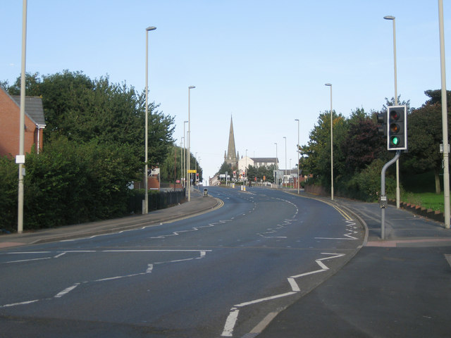
Image: © Robin Stott Taken: 29 Sep 2013
Ascending to the town centre – Dudley is a hill town – the spire of St Thomas's, the parish church in High Street, forms a focal point; King Street is the turning to the right.
Images are licensed for reuse under creativecommons.org/licenses/by-sa/2.0
Image Location
Latitude
52.50678
Longitude
-2.091154