Land off Coldra Road, Tynewydd
Introduction
The photograph on this page of Land off Coldra Road, Tynewydd by Helen as part of the Geograph project.
The Geograph project started in 2005 with the aim of publishing, organising and preserving representative images for every square kilometre of Great Britain, Ireland and the Isle of Man.

There are currently over 7.5m images from over 14,400 individuals and you can help contribute to the project by visiting https://www.geograph.org.uk
Land off Coldra Road, Tynewydd
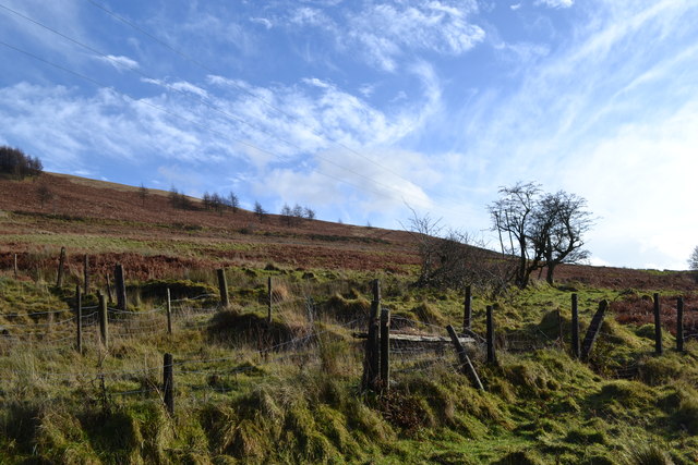
Image: © Helen Taken: 31 Dec 2013
Once past the houses the road opens out onto the mountainside and once led to the Fernhill Colliery at the top of Blaenrhondda.
Images are licensed for reuse under creativecommons.org/licenses/by-sa/2.0
Image Location
Latitude
51.686289
Longitude
-3.548496