The Street, Bolney
Introduction
The photograph on this page of The Street, Bolney by Simon Carey as part of the Geograph project.
The Geograph project started in 2005 with the aim of publishing, organising and preserving representative images for every square kilometre of Great Britain, Ireland and the Isle of Man.

There are currently over 7.5m images from over 14,400 individuals and you can help contribute to the project by visiting https://www.geograph.org.uk
The Street, Bolney
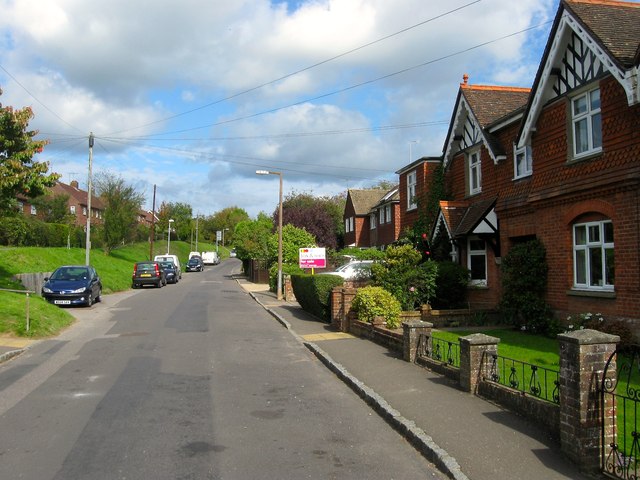
Image: © Simon Carey Taken: 25 Sep 2014
Looking northwards from the centre of the old part of the village. The road would have once linked the village to Bolney Common, and later the settlement which grew up after enclosure, through open fields but gradually during the 20th century the two areas of settlement have spread up and down the road and merged together.
Images are licensed for reuse under creativecommons.org/licenses/by-sa/2.0
Image Location
Latitude
50.990341
Longitude
-0.204379