Farm buildings at Crewgarth
Introduction
The photograph on this page of Farm buildings at Crewgarth by Oliver Dixon as part of the Geograph project.
The Geograph project started in 2005 with the aim of publishing, organising and preserving representative images for every square kilometre of Great Britain, Ireland and the Isle of Man.

There are currently over 7.5m images from over 14,400 individuals and you can help contribute to the project by visiting https://www.geograph.org.uk
Farm buildings at Crewgarth
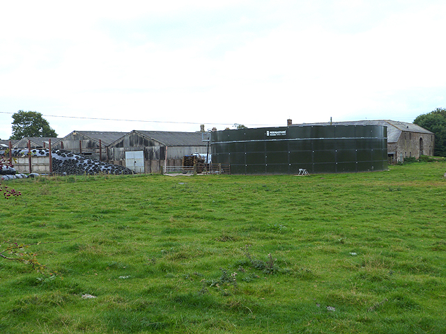
Image: © Oliver Dixon Taken: 28 Sep 2014
There are two farms named "Crewgarth" on the map. This one is on the south side of the road. A large slurry tank in the foreground.
Images are licensed for reuse under creativecommons.org/licenses/by-sa/2.0
Image Location
Latitude
54.707347
Longitude
-2.620285