Bridleway to The Cotts
Introduction
The photograph on this page of Bridleway to The Cotts by Richard Law as part of the Geograph project.
The Geograph project started in 2005 with the aim of publishing, organising and preserving representative images for every square kilometre of Great Britain, Ireland and the Isle of Man.

There are currently over 7.5m images from over 14,400 individuals and you can help contribute to the project by visiting https://www.geograph.org.uk
Bridleway to The Cotts
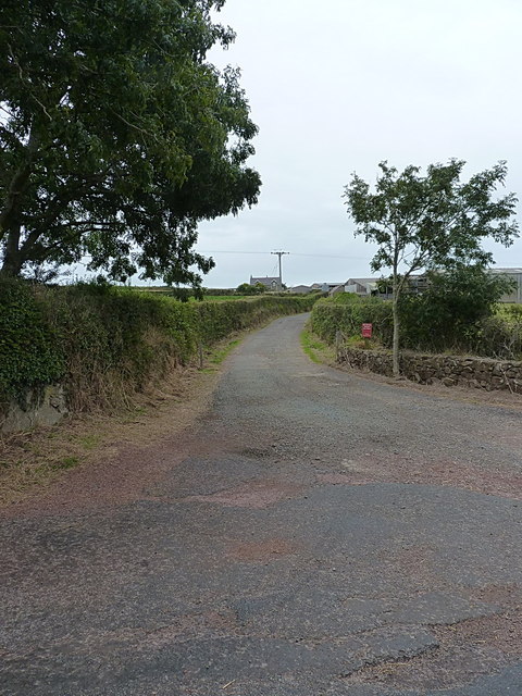
Image: © Richard Law Taken: 24 Aug 2014
Front entrance to The Cotts farm, which just happens also to be a public right of way.
Images are licensed for reuse under creativecommons.org/licenses/by-sa/2.0
Image Location
Latitude
51.748757
Longitude
-5.103025