A footpath off Lyndhurst Road, Plymouth
Introduction
The photograph on this page of A footpath off Lyndhurst Road, Plymouth by David Smith as part of the Geograph project.
The Geograph project started in 2005 with the aim of publishing, organising and preserving representative images for every square kilometre of Great Britain, Ireland and the Isle of Man.

There are currently over 7.5m images from over 14,400 individuals and you can help contribute to the project by visiting https://www.geograph.org.uk
A footpath off Lyndhurst Road, Plymouth
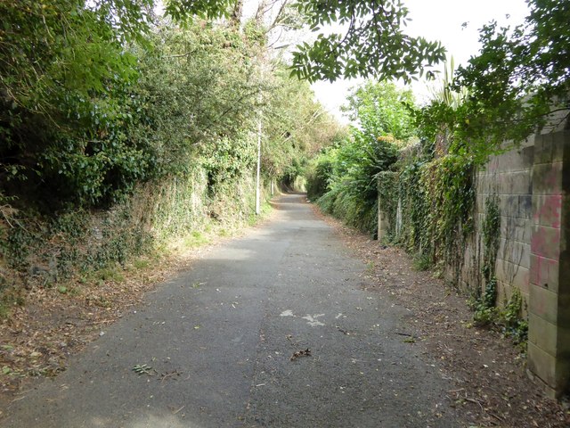
Image: © David Smith Taken: 26 Sep 2014
This wide path links Lyndhurst Road with Outland Road and Central Park. It is marked as a lane on old maps, and was presumably demoted to being a path to allow easier traffic flow on Outland Road, A386
Images are licensed for reuse under creativecommons.org/licenses/by-sa/2.0
Image Location
Latitude
50.39179
Longitude
-4.151829