The end of Beechcroft Road
Introduction
The photograph on this page of The end of Beechcroft Road by David Smith as part of the Geograph project.
The Geograph project started in 2005 with the aim of publishing, organising and preserving representative images for every square kilometre of Great Britain, Ireland and the Isle of Man.

There are currently over 7.5m images from over 14,400 individuals and you can help contribute to the project by visiting https://www.geograph.org.uk
The end of Beechcroft Road
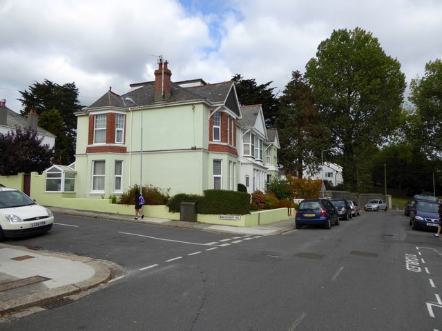
Image: © David Smith Taken: 26 Sep 2014
One of three parallel roads named after trees, Beech, Cedar and Fir, arranged logically in alphabetical order running north from the road on which the photographer was standing. Unfortunately for the logic, there is Elmcroft some way away, out of sequence, and Oakcroft leads south, not north.
Images are licensed for reuse under creativecommons.org/licenses/by-sa/2.0
Image Location
Latitude
50.393466
Longitude
-4.153593