Referendum banner, Kincraig
Introduction
The photograph on this page of Referendum banner, Kincraig by Richard Webb as part of the Geograph project.
The Geograph project started in 2005 with the aim of publishing, organising and preserving representative images for every square kilometre of Great Britain, Ireland and the Isle of Man.

There are currently over 7.5m images from over 14,400 individuals and you can help contribute to the project by visiting https://www.geograph.org.uk
Referendum banner, Kincraig
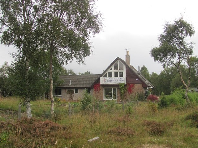
Image: © Richard Webb Taken: 15 Sep 2014
Unionist: not surprising here. This part of Kincraig is a scattered housing development with large plots of land around each house. Very striking on a map.
Images are licensed for reuse under creativecommons.org/licenses/by-sa/2.0
Image Location
Latitude
57.125613
Longitude
-3.937376