Former WW1 Army Hut at New Mill, Tring
Introduction
The photograph on this page of Former WW1 Army Hut at New Mill, Tring by Chris Reynolds as part of the Geograph project.
The Geograph project started in 2005 with the aim of publishing, organising and preserving representative images for every square kilometre of Great Britain, Ireland and the Isle of Man.

There are currently over 7.5m images from over 14,400 individuals and you can help contribute to the project by visiting https://www.geograph.org.uk
Former WW1 Army Hut at New Mill, Tring
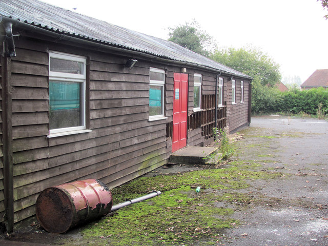
Image: © Chris Reynolds Taken: 17 Sep 2014
This shows the North side of the former New Mill Social Centre prior to demolition for rebuilding
Images are licensed for reuse under creativecommons.org/licenses/by-sa/2.0
Image Location
Latitude
51.807712
Longitude
-0.658591