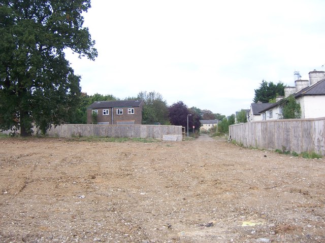
Thompson Road, Uxbridge
Introduction
The photograph on this page of Thompson Road, Uxbridge by Ian Harrison as part of the Geograph project.
The Geograph project started in 2005 with the aim of publishing, organising and preserving representative images for every square kilometre of Great Britain, Ireland and the Isle of Man.
There are currently over 7.5m images from over 14,400 individuals and you can help contribute to the project by visiting https://www.geograph.org.uk

Image: © Ian Harrison Taken: 28 Sep 2014
Thompson Road, viewed from St Andrew's Road. Former RAF Uxbridge married accommodation, left derelict since the mid 1990s after new housing was built elsewhere on the station. The rough land was part of the station's Military Transport (MT) section, which has been demolished as part of the redevelopment of the RAF station. The white building partially visible at the end of the road is part of the former RAF hospital.

