Ham Lane path and cyclepath
Introduction
The photograph on this page of Ham Lane path and cyclepath by David Smith as part of the Geograph project.
The Geograph project started in 2005 with the aim of publishing, organising and preserving representative images for every square kilometre of Great Britain, Ireland and the Isle of Man.

There are currently over 7.5m images from over 14,400 individuals and you can help contribute to the project by visiting https://www.geograph.org.uk
Ham Lane path and cyclepath
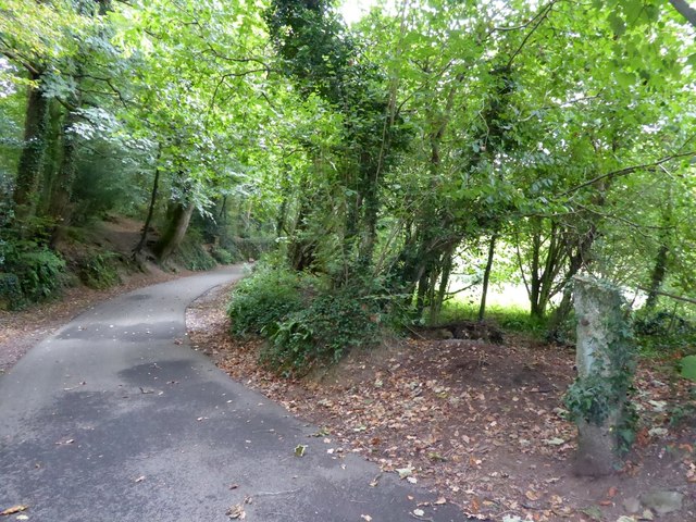
Image: © David Smith Taken: 26 Sep 2014
This runs through the valley of the Ham stream. On the right is a granite gatepost from the days when this was farmland, rather than urban fringe
Images are licensed for reuse under creativecommons.org/licenses/by-sa/2.0
Image Location
Latitude
50.399618
Longitude
-4.16133