Tregony Bridge.
Introduction
The photograph on this page of Tregony Bridge. by Fred James as part of the Geograph project.
The Geograph project started in 2005 with the aim of publishing, organising and preserving representative images for every square kilometre of Great Britain, Ireland and the Isle of Man.

There are currently over 7.5m images from over 14,400 individuals and you can help contribute to the project by visiting https://www.geograph.org.uk
Tregony Bridge.
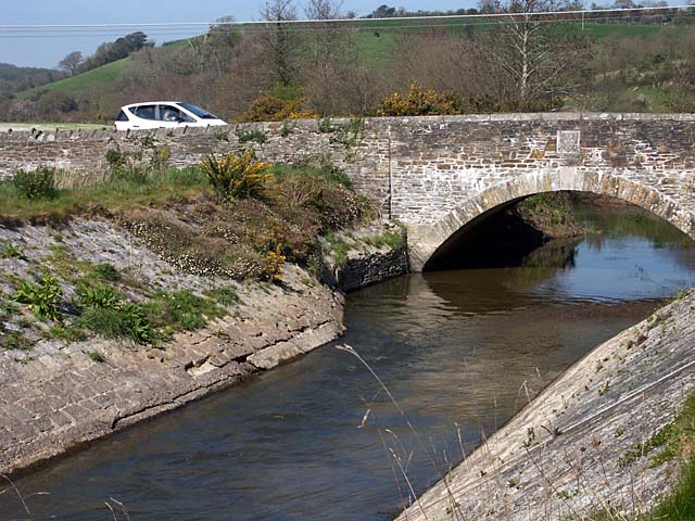
Image: © Fred James Taken: 20 Apr 2007
The river Fal was first crossed here in the 14th century. According to the plaque this bridge was completed in 1893.
Images are licensed for reuse under creativecommons.org/licenses/by-sa/2.0
Image Location
Latitude
50.266402
Longitude
-4.918558