Ryecroft House, Ryecroft Road, Bolney
Introduction
The photograph on this page of Ryecroft House, Ryecroft Road, Bolney by Simon Carey as part of the Geograph project.
The Geograph project started in 2005 with the aim of publishing, organising and preserving representative images for every square kilometre of Great Britain, Ireland and the Isle of Man.

There are currently over 7.5m images from over 14,400 individuals and you can help contribute to the project by visiting https://www.geograph.org.uk
Ryecroft House, Ryecroft Road, Bolney
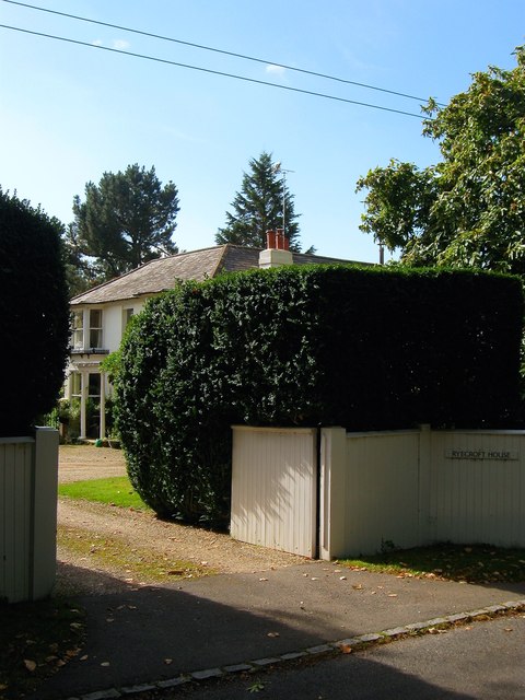
Image: © Simon Carey Taken: 25 Sep 2014
Built after the enclosure of Bolney Common in 1841 and for a brief period of time was the Race Horse Inn though it had become Ryecroft House by the time of the 1879 OS map.
Images are licensed for reuse under creativecommons.org/licenses/by-sa/2.0
Image Location
Latitude
50.994941
Longitude
-0.199356