Site of Bolney Common
Introduction
The photograph on this page of Site of Bolney Common by Simon Carey as part of the Geograph project.
The Geograph project started in 2005 with the aim of publishing, organising and preserving representative images for every square kilometre of Great Britain, Ireland and the Isle of Man.

There are currently over 7.5m images from over 14,400 individuals and you can help contribute to the project by visiting https://www.geograph.org.uk
Site of Bolney Common
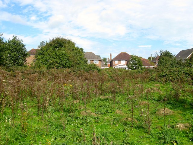
Image: © Simon Carey Taken: 25 Sep 2014
Plenty of rough ground lying between Cherry Lane, Top Street and Ryecroft Road remain as a reminder of the old common that existed here until enclosure in 1841. In all probability it will be gradually be developed in the future much like Image to the north.
Images are licensed for reuse under creativecommons.org/licenses/by-sa/2.0
Image Location
Latitude
50.995931
Longitude
-0.199461