Top Street, Bolney
Introduction
The photograph on this page of Top Street, Bolney by Simon Carey as part of the Geograph project.
The Geograph project started in 2005 with the aim of publishing, organising and preserving representative images for every square kilometre of Great Britain, Ireland and the Isle of Man.

There are currently over 7.5m images from over 14,400 individuals and you can help contribute to the project by visiting https://www.geograph.org.uk
Top Street, Bolney
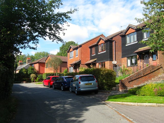
Image: © Simon Carey Taken: 25 Sep 2014
The houses on the right were built in 1988 on the site of the former village general store which operated from the last quarter of the 19th century until its closure in 1965. Beyond the red car is the junction with Image built on the rest of the grounds of the former shop and Image
Images are licensed for reuse under creativecommons.org/licenses/by-sa/2.0
Image Location
Latitude
50.997497
Longitude
-0.201823