Scarps Side, The Street, Bolney
Introduction
The photograph on this page of Scarps Side, The Street, Bolney by Simon Carey as part of the Geograph project.
The Geograph project started in 2005 with the aim of publishing, organising and preserving representative images for every square kilometre of Great Britain, Ireland and the Isle of Man.

There are currently over 7.5m images from over 14,400 individuals and you can help contribute to the project by visiting https://www.geograph.org.uk
Scarps Side, The Street, Bolney
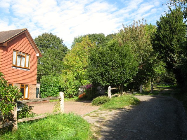
Image: © Simon Carey Taken: 25 Sep 2014
Located between Image to the south and Image to the north and a fairly new build. The former was originally known as Scarps. This is the northern end of The Street which ends at the gate beyond which continues the High Weald Landscape Trail.
Images are licensed for reuse under creativecommons.org/licenses/by-sa/2.0
Image Location
Latitude
50.998049
Longitude
-0.202657