Beggars Bush
Introduction
The photograph on this page of Beggars Bush by Simon Carey as part of the Geograph project.
The Geograph project started in 2005 with the aim of publishing, organising and preserving representative images for every square kilometre of Great Britain, Ireland and the Isle of Man.

There are currently over 7.5m images from over 14,400 individuals and you can help contribute to the project by visiting https://www.geograph.org.uk
Beggars Bush
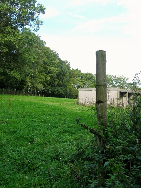
Image: © Simon Carey Taken: 25 Sep 2014
The name of the field according to Bolney's 1842 tithe map that lies to the west of London Road, the old course of the A23. The gate to the field has Beggars Bush Nursery painted on it which may explain the origins of what looks like a set of concrete storage areas.
Images are licensed for reuse under creativecommons.org/licenses/by-sa/2.0
Image Location
Latitude
51.01104
Longitude
-0.199446