N20 Cycle Path
Introduction
The photograph on this page of N20 Cycle Path by Simon Carey as part of the Geograph project.
The Geograph project started in 2005 with the aim of publishing, organising and preserving representative images for every square kilometre of Great Britain, Ireland and the Isle of Man.

There are currently over 7.5m images from over 14,400 individuals and you can help contribute to the project by visiting https://www.geograph.org.uk
N20 Cycle Path
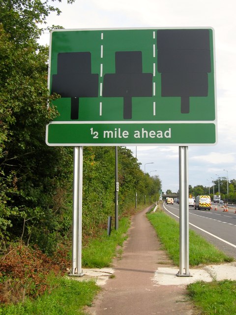
Image: © Simon Carey Taken: 25 Sep 2014
The long distance route links Wandsworth in London to Brighton and largely follows the A23 throughout its route. Here the path runs next to the road between the northern Bolney slip road and Pitts Head Crossroads where it splits, one route continuing to follow the A23, and another veering north eastwards following the old course of the London-Brighton turnpike to Staplefield then Handcross. The new sign awaits the work on the A23 to be completed before its instructions are revealed.
Images are licensed for reuse under creativecommons.org/licenses/by-sa/2.0
Image Location
Latitude
51.014065
Longitude
-0.197333