A23(T)
Introduction
The photograph on this page of A23(T) by Simon Carey as part of the Geograph project.
The Geograph project started in 2005 with the aim of publishing, organising and preserving representative images for every square kilometre of Great Britain, Ireland and the Isle of Man.

There are currently over 7.5m images from over 14,400 individuals and you can help contribute to the project by visiting https://www.geograph.org.uk
A23(T)
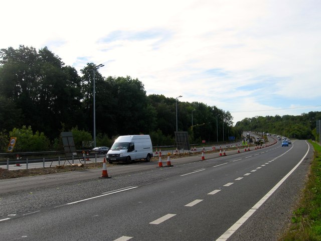
Image: © Simon Carey Taken: 25 Sep 2014
Looking southwards towards the junction with the northbound slip road out from Bolney, a point where the old course of the road rejoins the new course opened in the early and taking the trunk road past the village. Roadworks are currently in progress to extend the lanes and make the area around Handcross Hill safer.
Images are licensed for reuse under creativecommons.org/licenses/by-sa/2.0
Image Location
Latitude
51.012272
Longitude
-0.197687