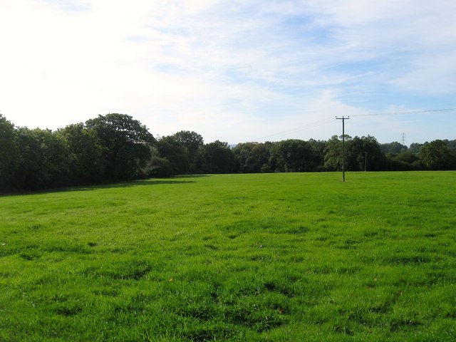
Long Field
Introduction
The photograph on this page of Long Field by Simon Carey as part of the Geograph project.
The Geograph project started in 2005 with the aim of publishing, organising and preserving representative images for every square kilometre of Great Britain, Ireland and the Isle of Man.
There are currently over 7.5m images from over 14,400 individuals and you can help contribute to the project by visiting https://www.geograph.org.uk

Image: © Simon Carey Taken: 25 Sep 2014
The name of the field according to Slaugham's 1842 tithe map that has been merged with Image and Image to the west to form a larger unit. To the north is Image whilst beyond the hedge line to the east is Image and Image That hedge line forms the parish boundary between Slaugham and Cuckfield and was once a lane that ran from what is now Cuckfield Lane, the B2115, southwards to Bolney Common. The road disappeared firstly due to the construction of the London-Brighton turnpike, now the A23, and then to the enclosure of Bolney Common in 1841. The route is clearly marked on the 1813 OS map with part marked as course of old road on the 1879 edition.

