Looking down Churchfield Street, Dudley
Introduction
The photograph on this page of Looking down Churchfield Street, Dudley by Robin Stott as part of the Geograph project.
The Geograph project started in 2005 with the aim of publishing, organising and preserving representative images for every square kilometre of Great Britain, Ireland and the Isle of Man.

There are currently over 7.5m images from over 14,400 individuals and you can help contribute to the project by visiting https://www.geograph.org.uk
Looking down Churchfield Street, Dudley
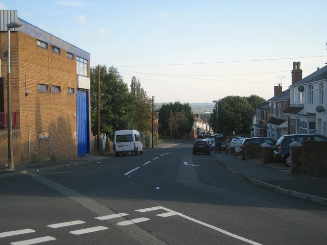
Image: © Robin Stott Taken: 29 Sep 2013
A glimpse of the Black Country horizon is a reminder that Dudley is a hill town. The photographer's position at the end of King Street is at about 205m, well below the summit of Dudley Castle Hill.
Images are licensed for reuse under creativecommons.org/licenses/by-sa/2.0
Image Location
Latitude
52.506692
Longitude
-2.088354