Derelict house, Keeres Green
Introduction
The photograph on this page of Derelict house, Keeres Green by Robin Webster as part of the Geograph project.
The Geograph project started in 2005 with the aim of publishing, organising and preserving representative images for every square kilometre of Great Britain, Ireland and the Isle of Man.

There are currently over 7.5m images from over 14,400 individuals and you can help contribute to the project by visiting https://www.geograph.org.uk
Derelict house, Keeres Green
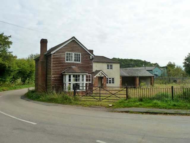
Image: © Robin Webster Taken: 27 Sep 2014
This corner house or houses seem of no great age, yet are now derelict, with broken windows and frames. What went wrong?
Images are licensed for reuse under creativecommons.org/licenses/by-sa/2.0
Image Location
Latitude
51.804577
Longitude
0.308206