Loading area for an industrial unit, Burrington
Introduction
The photograph on this page of Loading area for an industrial unit, Burrington by David Smith as part of the Geograph project.
The Geograph project started in 2005 with the aim of publishing, organising and preserving representative images for every square kilometre of Great Britain, Ireland and the Isle of Man.

There are currently over 7.5m images from over 14,400 individuals and you can help contribute to the project by visiting https://www.geograph.org.uk
Loading area for an industrial unit, Burrington
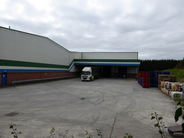
Image: © David Smith Taken: 26 Sep 2014
Seen from the Co-operative Way which runs through the Burrington Industrial Estate
Images are licensed for reuse under creativecommons.org/licenses/by-sa/2.0
Image Location
Latitude
50.404923
Longitude
-4.161431