Burrington Way and sign for the Co-operative Way
Introduction
The photograph on this page of Burrington Way and sign for the Co-operative Way by David Smith as part of the Geograph project.
The Geograph project started in 2005 with the aim of publishing, organising and preserving representative images for every square kilometre of Great Britain, Ireland and the Isle of Man.

There are currently over 7.5m images from over 14,400 individuals and you can help contribute to the project by visiting https://www.geograph.org.uk
Burrington Way and sign for the Co-operative Way
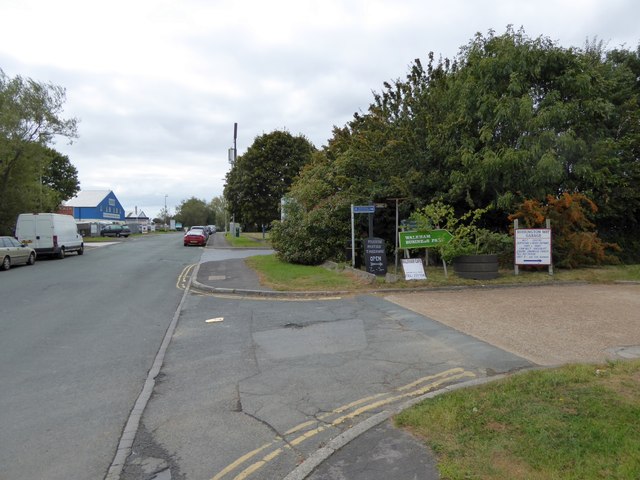
Image: © David Smith Taken: 26 Sep 2014
Burrington Way is the main road for a small industrial estate on the site of Burrington Farm. The sign points to a narrow path between fences which is part of the Co-operative Way, a circular walk around north Plymouth
Images are licensed for reuse under creativecommons.org/licenses/by-sa/2.0
Image Location
Latitude
50.403689
Longitude
-4.160108