Ffordd-C! / C-Road!
Introduction
The photograph on this page of Ffordd-C! / C-Road! by Ian Medcalf as part of the Geograph project.
The Geograph project started in 2005 with the aim of publishing, organising and preserving representative images for every square kilometre of Great Britain, Ireland and the Isle of Man.

There are currently over 7.5m images from over 14,400 individuals and you can help contribute to the project by visiting https://www.geograph.org.uk
Ffordd-C! / C-Road!
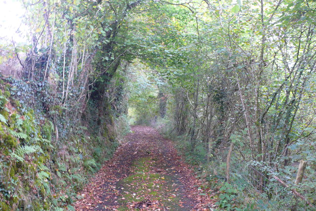
Image: © Ian Medcalf Taken: 27 Sep 2014
Y mae'r ffordd hon wedi dirywio cymaint yn diweddar fel bellach mae hi'n fwy tebyg i lôn werdd. Yn sicr, fyddwn i ddim yn argymell unrhyw un i fynd a car ar ei hyd / This road has deteriorated so much recently so much so that it resembles a green lane. I certainly would not recommend anyone take a car along it.
Images are licensed for reuse under creativecommons.org/licenses/by-sa/2.0
Image Location
Latitude
52.314591
Longitude
-4.077075