Merton: The Path
Introduction
The photograph on this page of Merton: The Path by Dr Neil Clifton as part of the Geograph project.
The Geograph project started in 2005 with the aim of publishing, organising and preserving representative images for every square kilometre of Great Britain, Ireland and the Isle of Man.

There are currently over 7.5m images from over 14,400 individuals and you can help contribute to the project by visiting https://www.geograph.org.uk
Merton: The Path
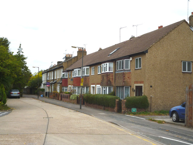
Image: © Dr Neil Clifton Taken: 27 Sep 2014
As regards motor vehicles, The Path is no through road, as it just gives access to the Nelson Trading Area. The houses at the further end of 'The Path' are older, and have the numbers 2 to 14, evens. The nearer, newer, block of houses were given the numbers 2A to 8A, evens.
Images are licensed for reuse under creativecommons.org/licenses/by-sa/2.0
Image Location
Latitude
51.41365
Longitude
-0.193595