Bridleway under the railway
Introduction
The photograph on this page of Bridleway under the railway by Dr Neil Clifton as part of the Geograph project.
The Geograph project started in 2005 with the aim of publishing, organising and preserving representative images for every square kilometre of Great Britain, Ireland and the Isle of Man.

There are currently over 7.5m images from over 14,400 individuals and you can help contribute to the project by visiting https://www.geograph.org.uk
Bridleway under the railway
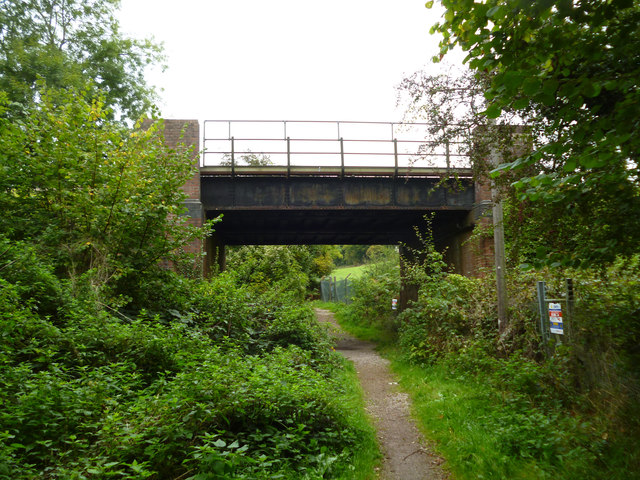
Image: © Dr Neil Clifton Taken: 26 Sep 2014
Looking north, the bridleway goes on to Read's Rest. The railway is the branch line to Tattenham Corner.
Images are licensed for reuse under creativecommons.org/licenses/by-sa/2.0
Image Location
Latitude
51.299058
Longitude
-0.19781