Bramcote Lane Recreation Ground site
Introduction
The photograph on this page of Bramcote Lane Recreation Ground site by Alan Murray-Rust as part of the Geograph project.
The Geograph project started in 2005 with the aim of publishing, organising and preserving representative images for every square kilometre of Great Britain, Ireland and the Isle of Man.

There are currently over 7.5m images from over 14,400 individuals and you can help contribute to the project by visiting https://www.geograph.org.uk
Bramcote Lane Recreation Ground site
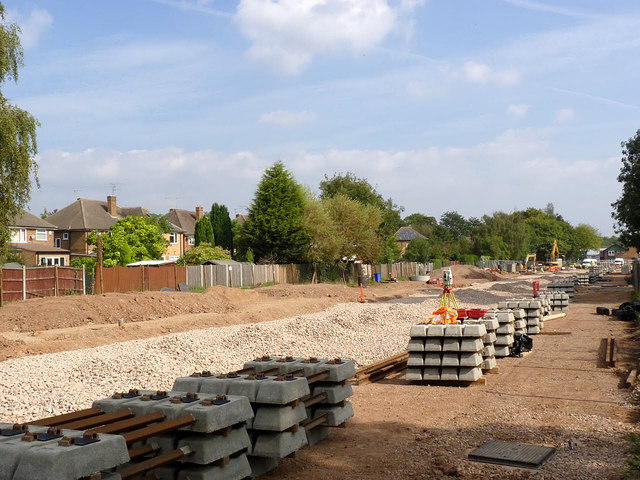
Image: © Alan Murray-Rust Taken: 22 Sep 2014
Work has finally begun on laying the track. This is the last significant section of the route to Chilwell where the track is not yet in position.
Images are licensed for reuse under creativecommons.org/licenses/by-sa/2.0
Image Location
Latitude
52.922094
Longitude
-1.23396