Roman Way
Introduction
The photograph on this page of Roman Way by Neil Owen as part of the Geograph project.
The Geograph project started in 2005 with the aim of publishing, organising and preserving representative images for every square kilometre of Great Britain, Ireland and the Isle of Man.

There are currently over 7.5m images from over 14,400 individuals and you can help contribute to the project by visiting https://www.geograph.org.uk
Roman Way
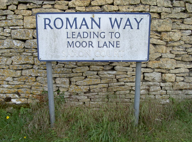
Image: © Neil Owen Taken: 6 Aug 2014
Parts of the area surrounding Bourton-on-the-Water have yielded some archaeology from the Roman period. It's not surprising as the Fosse Way runs close to the west. However, the Saxons appear to have had a light impact here with only a few remains found so far, so perhaps their name is not so important.
Images are licensed for reuse under creativecommons.org/licenses/by-sa/2.0
Image Location
Latitude
51.886581
Longitude
-1.75368