Wentworth Grange Estate
Introduction
The photograph on this page of Wentworth Grange Estate by Christopher Thomas as part of the Geograph project.
The Geograph project started in 2005 with the aim of publishing, organising and preserving representative images for every square kilometre of Great Britain, Ireland and the Isle of Man.

There are currently over 7.5m images from over 14,400 individuals and you can help contribute to the project by visiting https://www.geograph.org.uk
Wentworth Grange Estate
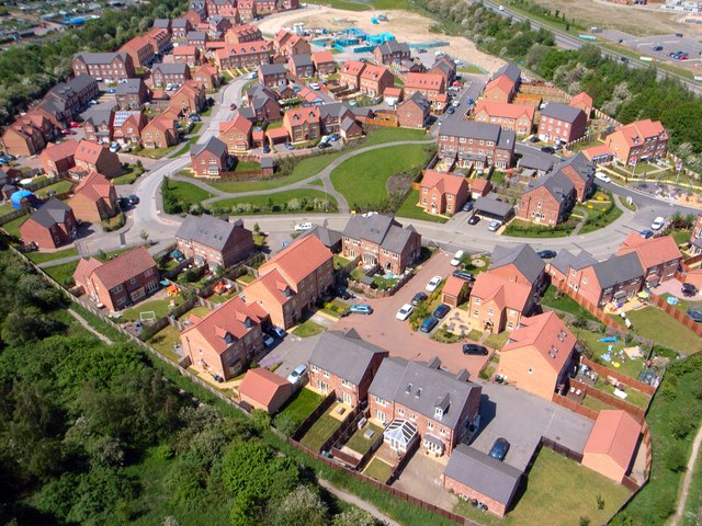
Image: © Christopher Thomas Taken: 17 Jul 2012
The housing estate is part of the Manvers development at Wath-upon-Dearne. This site was un-developed wetland until the 2000s.
Images are licensed for reuse under creativecommons.org/licenses/by-sa/2.0
Image Location
Latitude
53.507444
Longitude
-1.352519