Mill Hill and Spring Hill near Grendon Underwood
Introduction
The photograph on this page of Mill Hill and Spring Hill near Grendon Underwood by Andy Gryce as part of the Geograph project.
The Geograph project started in 2005 with the aim of publishing, organising and preserving representative images for every square kilometre of Great Britain, Ireland and the Isle of Man.

There are currently over 7.5m images from over 14,400 individuals and you can help contribute to the project by visiting https://www.geograph.org.uk
Mill Hill and Spring Hill near Grendon Underwood
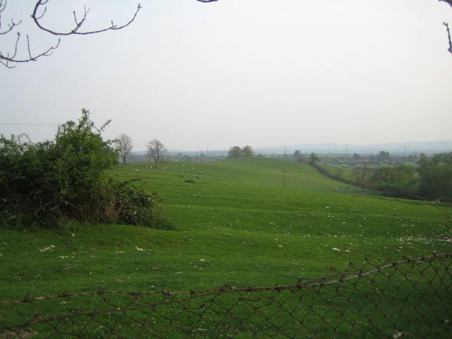
Image: © Andy Gryce Taken: 29 Apr 2007
Mill Hill is in the centre middle distance, and the slightly higher ground to the left is Spring Hill (marked on the OS 1:25,000 map) at 96m. Spring Hill gives its name to HM Prison Springhill which is behind the camera. The village of Grendon Underwood is in the far distance to the right.
Images are licensed for reuse under creativecommons.org/licenses/by-sa/2.0
Image Location
Latitude
51.886721
Longitude
-1.009905