Farmland to the northwest of Hersden recreation ground
Introduction
The photograph on this page of Farmland to the northwest of Hersden recreation ground by John Baker as part of the Geograph project.
The Geograph project started in 2005 with the aim of publishing, organising and preserving representative images for every square kilometre of Great Britain, Ireland and the Isle of Man.

There are currently over 7.5m images from over 14,400 individuals and you can help contribute to the project by visiting https://www.geograph.org.uk
Farmland to the northwest of Hersden recreation ground
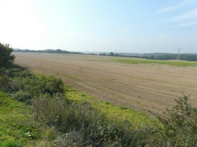
Image: © John Baker Taken: 18 Sep 2014
Seen from the top of an embankment in the BMX track complex. Friends, who live in Blackthorn Road, have told me that 8000 houses could be built on this site.
Images are licensed for reuse under creativecommons.org/licenses/by-sa/2.0
Image Location
Latitude
51.317129
Longitude
1.153546