Banstead: Houses on Mint Road
Introduction
The photograph on this page of Banstead: Houses on Mint Road by Dr Neil Clifton as part of the Geograph project.
The Geograph project started in 2005 with the aim of publishing, organising and preserving representative images for every square kilometre of Great Britain, Ireland and the Isle of Man.

There are currently over 7.5m images from over 14,400 individuals and you can help contribute to the project by visiting https://www.geograph.org.uk
Banstead: Houses on Mint Road
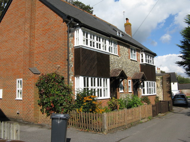
Image: © Dr Neil Clifton Taken: 24 Sep 2014
These houses were added fairly recently, and because numbers 1 to 10 were already in use for the much older cottages, they were numbered 1A and 1B, 1A being the nearest to the road junction of Mint Road with Park Road.
Images are licensed for reuse under creativecommons.org/licenses/by-sa/2.0
Image Location
Latitude
51.317571
Longitude
-0.191201