View SE from Drumlougher Road across drumlin slopes land towards an inter-drumlin wetland
Introduction
The photograph on this page of View SE from Drumlougher Road across drumlin slopes land towards an inter-drumlin wetland by Eric Jones as part of the Geograph project.
The Geograph project started in 2005 with the aim of publishing, organising and preserving representative images for every square kilometre of Great Britain, Ireland and the Isle of Man.

There are currently over 7.5m images from over 14,400 individuals and you can help contribute to the project by visiting https://www.geograph.org.uk
View SE from Drumlougher Road across drumlin slopes land towards an inter-drumlin wetland
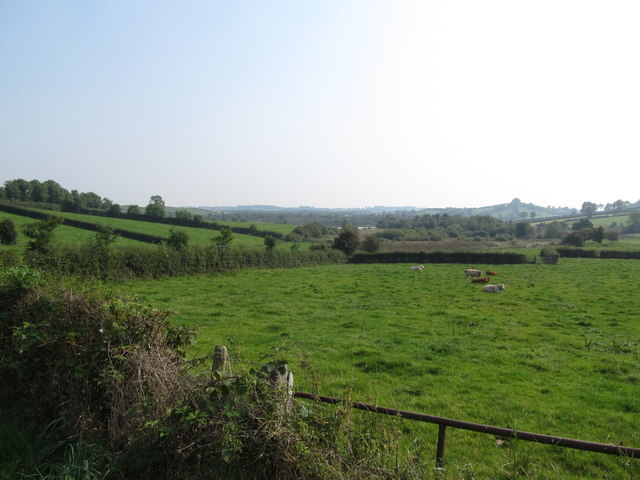
Image: © Eric Jones Taken: 11 Sep 2014
The lake in the wetland area is Drumlougher Lough.
Images are licensed for reuse under creativecommons.org/licenses/by-sa/2.0
Image Location
Latitude
54.112066
Longitude
-6.638815