Lake at Junction of Devereux Lane and Wyatt Drive, Barnes
Introduction
The photograph on this page of Lake at Junction of Devereux Lane and Wyatt Drive, Barnes by Roger Miller as part of the Geograph project.
The Geograph project started in 2005 with the aim of publishing, organising and preserving representative images for every square kilometre of Great Britain, Ireland and the Isle of Man.

There are currently over 7.5m images from over 14,400 individuals and you can help contribute to the project by visiting https://www.geograph.org.uk
Lake at Junction of Devereux Lane and Wyatt Drive, Barnes
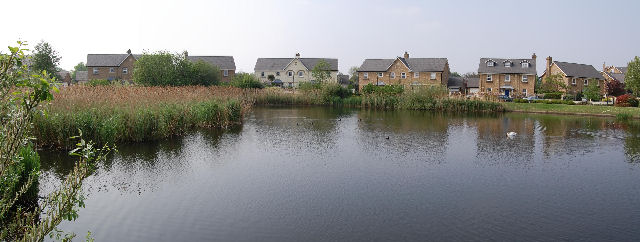
Image: © Roger Miller Taken: 29 Apr 2007
The lake is a sort of annexe to the London Wetland Centre.
Images are licensed for reuse under creativecommons.org/licenses/by-sa/2.0
Image Location


Leaflet Map data © OpenStreetMap
Latitude
51.482505
Longitude
-0.233074