Towards the former Oswestry junction from Gobowen
Introduction
The photograph on this page of Towards the former Oswestry junction from Gobowen by Jaggery as part of the Geograph project.
The Geograph project started in 2005 with the aim of publishing, organising and preserving representative images for every square kilometre of Great Britain, Ireland and the Isle of Man.

There are currently over 7.5m images from over 14,400 individuals and you can help contribute to the project by visiting https://www.geograph.org.uk
Towards the former Oswestry junction from Gobowen
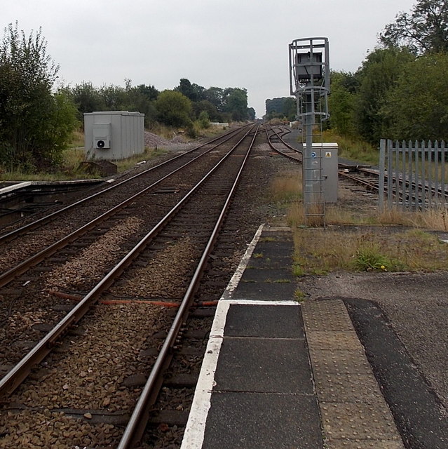
Image: © Jaggery Taken: 15 Sep 2014
Looking SW from Gobowen Station. The line curving to the right ahead leads to Oswestry, though there is currently (September 2014) at least one gap http://www.geograph.org.uk/photo/4173058 in the line. Cambrian Heritage Railways society is working on restoring the route, with completion scheduled for April 2017.
Images are licensed for reuse under creativecommons.org/licenses/by-sa/2.0
Image Location
Latitude
52.89173
Longitude
-3.035495