Farm buildings at Spital Tower
Introduction
The photograph on this page of Farm buildings at Spital Tower by Oliver Dixon as part of the Geograph project.
The Geograph project started in 2005 with the aim of publishing, organising and preserving representative images for every square kilometre of Great Britain, Ireland and the Isle of Man.

There are currently over 7.5m images from over 14,400 individuals and you can help contribute to the project by visiting https://www.geograph.org.uk
Farm buildings at Spital Tower
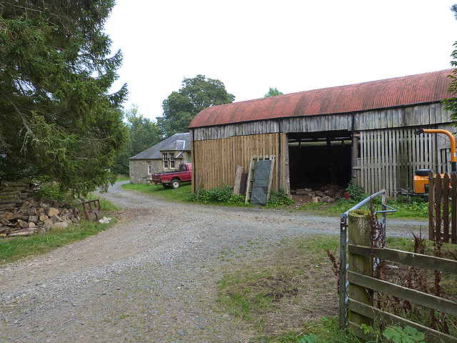
Image: © Oliver Dixon Taken: 21 Sep 2014
Spital Tower is the base for Ruberslaw Wild Woods Camping, a campsite where caravans are not allowed for a change.
Images are licensed for reuse under creativecommons.org/licenses/by-sa/2.0
Image Location
Latitude
55.451845
Longitude
-2.656741