Border Abbeys Way
Introduction
The photograph on this page of Border Abbeys Way by Oliver Dixon as part of the Geograph project.
The Geograph project started in 2005 with the aim of publishing, organising and preserving representative images for every square kilometre of Great Britain, Ireland and the Isle of Man.

There are currently over 7.5m images from over 14,400 individuals and you can help contribute to the project by visiting https://www.geograph.org.uk
Border Abbeys Way
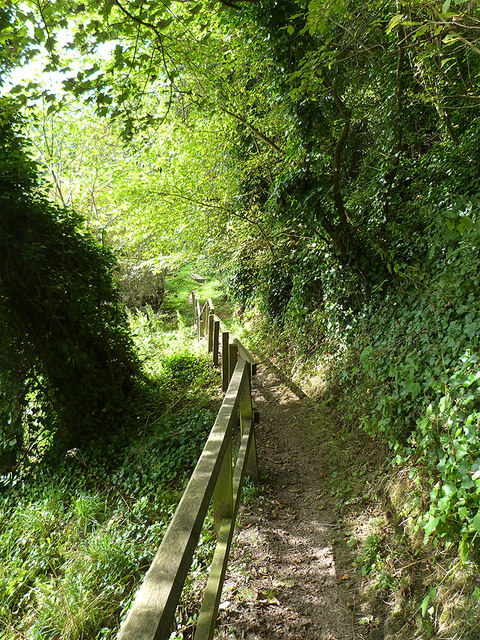
Image: © Oliver Dixon Taken: 22 Sep 2014
Here the Border Abbeys Way, a circular long-distance walking route in the Scottish Borders runs alongside the River Teviot. Boardwalks have been constructed at several points along the river where the ground is too wet.
Images are licensed for reuse under creativecommons.org/licenses/by-sa/2.0
Image Location
Latitude
55.455059
Longitude
-2.724154